Cbd Belapur, Navi Mumbai, Maharashtra
- GST NO. : 27AACCI6755M1Z1
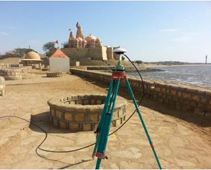
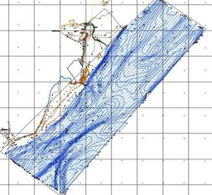
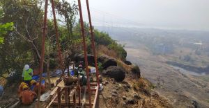
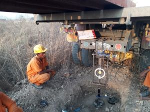
Ideal Geoservices offer topographic survey service offers precise mapping and analysis of terrain for various applications, including urban planning, infrastructure development, and land management. Using cutting-edge surveying technology such as GPS and LiDAR, we capture detailed elevation data, contours, and features to create accurate topographic maps. Our experienced surveyors conduct thorough fieldwork to ensure comprehensive coverage and reliable results. Whether you need site suitability assessments, drainage planning, or land-use studies, our topographic surveys provide valuable insights to support informed decision-making. Trust us for meticulous surveying and mapping services that lay the foundation for successful project planning and execution.
Looking for "Topographic Survey Service" ?
Explore More Services


