Cbd Belapur, Navi Mumbai, Maharashtra
- GST NO. : 27AACCI6755M1Z1
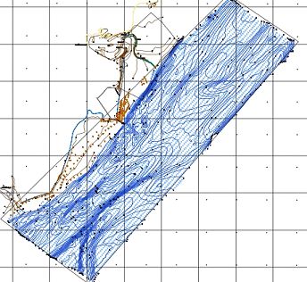
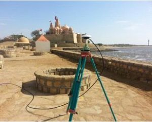
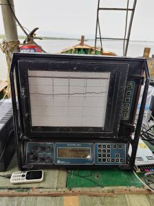
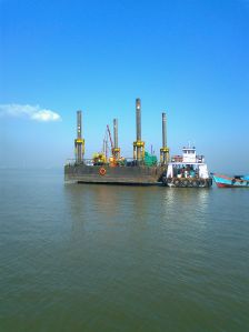
Ideal Geoservices offer bathymetric survey service that delivers precise mapping and analysis of aquatic environments for various applications, including marine construction, navigation, and environmental monitoring. Utilizing advanced sonar systems, GPS, and data processing technology, we provide detailed information on water depth, seabed topography, and underwater features. Our skilled surveyors conduct thorough assessments to ensure accurate and reliable results. Whether you need bathymetric charts, seabed characterization, or underwater hazard identification, our services support safe and efficient marine operations. Trust us for comprehensive hydrographic surveys that meet industry standards and regulatory requirements, ensuring successful project planning and execution in marine and coastal settings.
Looking for "Bathymetric Survey Services" ?
Explore More Services


